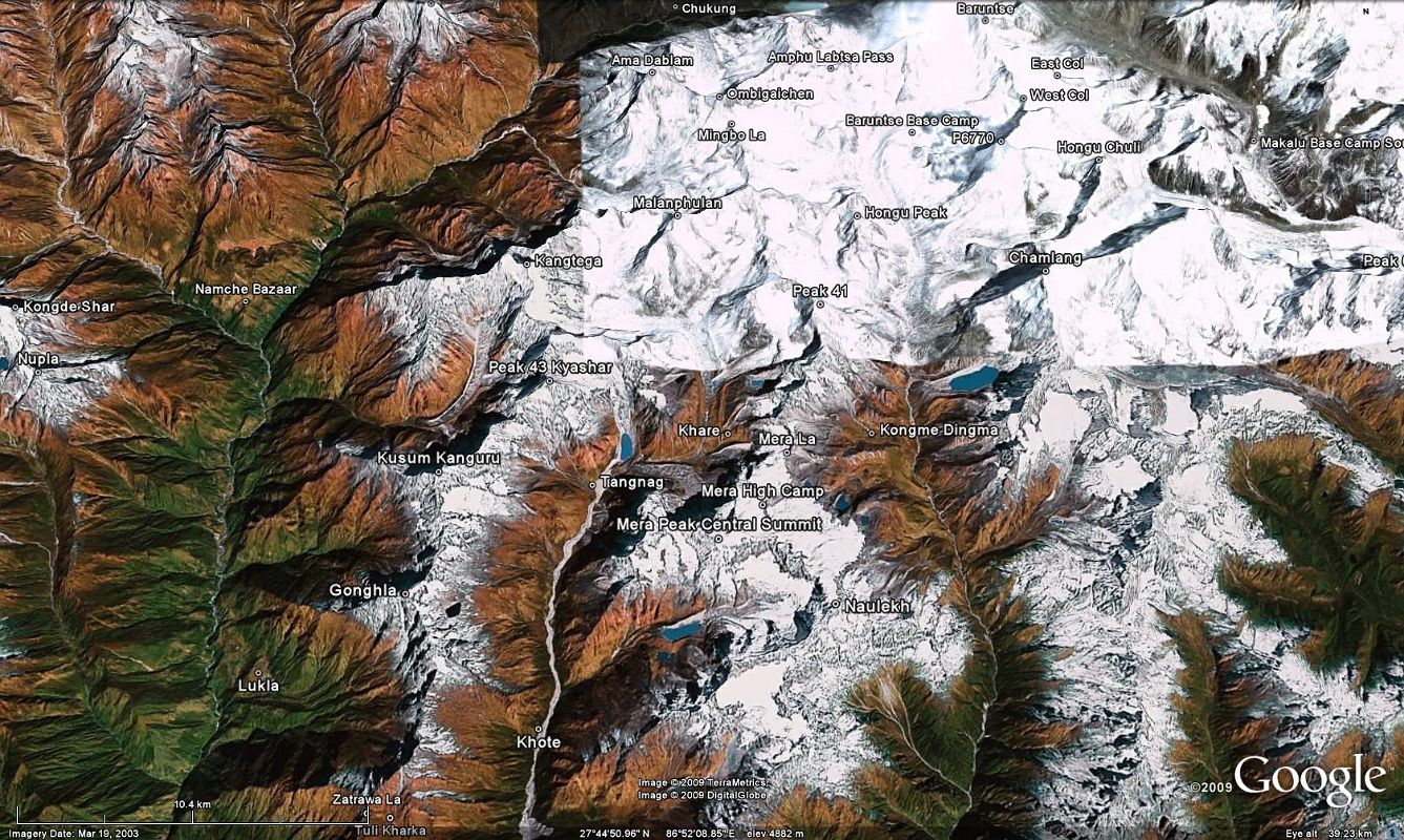


 11 00 Google Earth Image Of Trek Down Hongu Valley To Mera La, Climbing Mera Peak, Trekking Down Hinku Valley And Over The Zatrawa La To Lukla [1 of 14]
Here is a Google Earth image of the Mera Peak climb, starting at Baruntse Base Camp and trekking down the uninhabited mountain wilderness of the upper Hongu Valley past Peak 41 and Chamlang before turning to the west and climbing to Kongme Dingma (4770m) and the Mera La (5415m). After a short climb to Mera High Camp (5770m), a 4am early start starts the climb to Mera Peak. It is a quick descent to Mera La and down off the glacier to Khare (5000m) and on to Tangnag (4350m). After an easy descent down the Hinku Valley to Kothe (3600m), the trail turns to the west and climbs to Tuli Kharka (4400m), over the Zatrawa La (4600m) and down steeply to Lukla (2800m).
